
Sometimes You Need to Create Your Own Trail Hiking Adventure
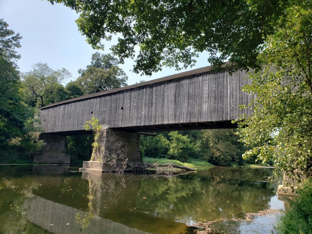
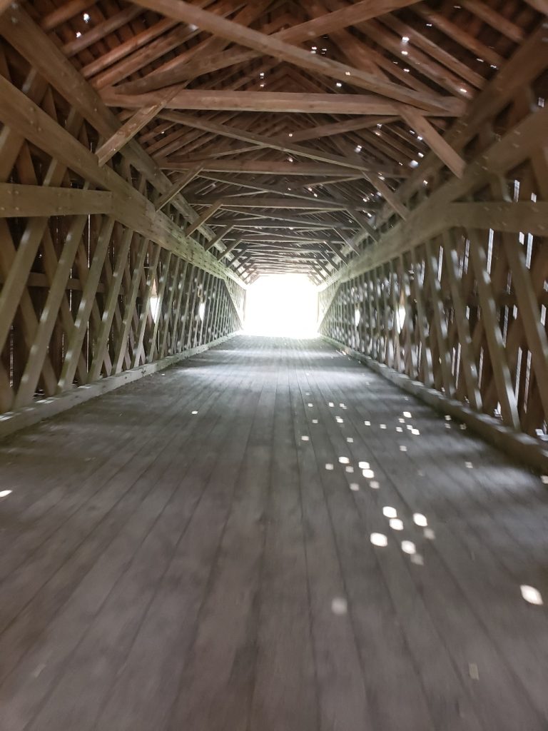
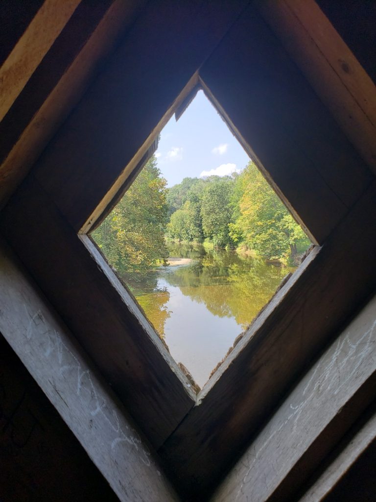
Bucks County PA’s Tyler State Park boasts 25 miles of trails for hikers, bicyclists and equestrians (check the map to see which trails are open in bicycles and horses). The park has 15 named trails at three difficulty levels; most are out-and-back or connector trails. The park also is home to the historic 170-footlong Schofield Ford Covered Bridge, the only Pennsylvania bridge with a queen post truss system supporting a town truss system.
It’s naturally-weathered gray color also stands out from the other 11 remaining Bucks County covered bridges, as it is the only one that remains unpainted. The original Schofield bridge was lost to arson in 1991. The current bridge is the result of a six-year community effort to replace the 1873 original, listed on the National Register of Historic Places.
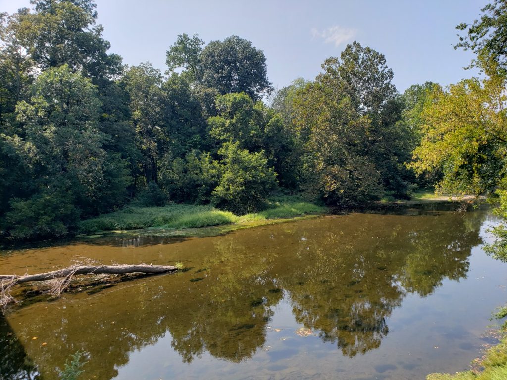
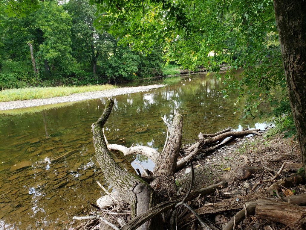
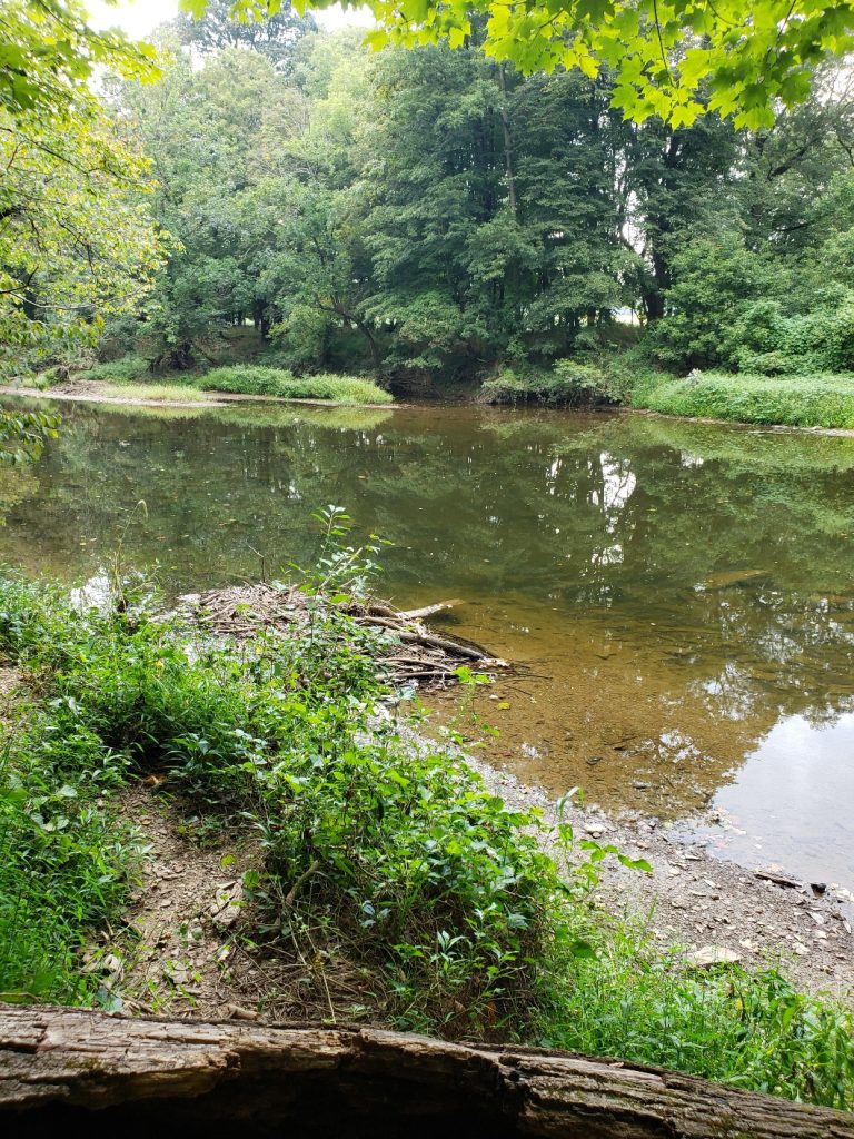
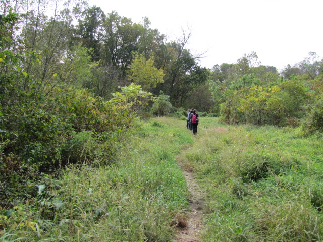
The park’s trails vary as does the landscape. The 2.6-mile Neshaminy Creek Trail at Tyler State Park travels along the creek between the Fisherman’s parking lot land the Schofield Covered Bridge. It travels most of the length of the creek through the park (the White Pine Trail continues along the creek beyond the bridge). It is an out-and back as well as one of the more difficult trails in the park.
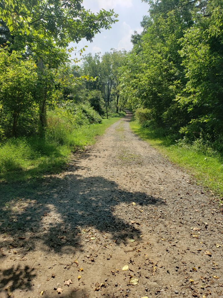
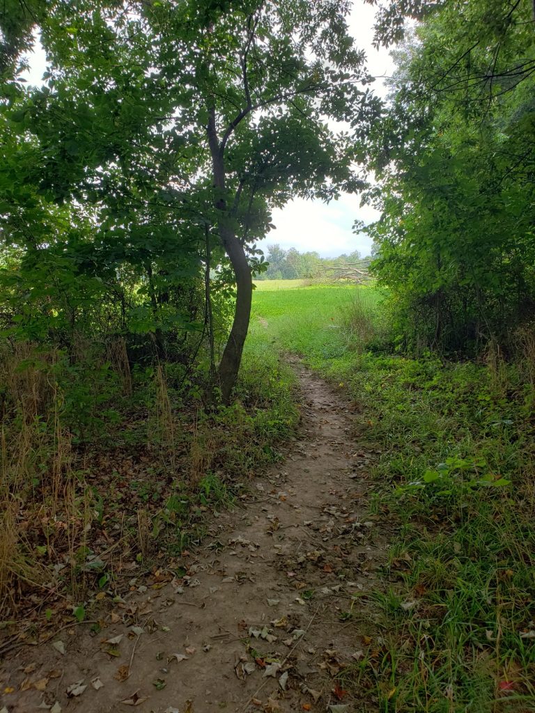
Those looking for a slightly easier hike while also enjoying the creek side trail can opt to start at the bridge, hike a shorter section of the Neshaminy Creek Trail and create your own loop trail using the easier Betz Hill and Covered Bridge Trails. The trail along the creek is rugged and at times hilly; combining your hike with the Betz Hill and Covered Bridge trails offers more variety with surfaces including pavement, gravel or dirt. This option offers a variety in both scenery and tree cover, from wooded, flowing creek sides to open meadows.